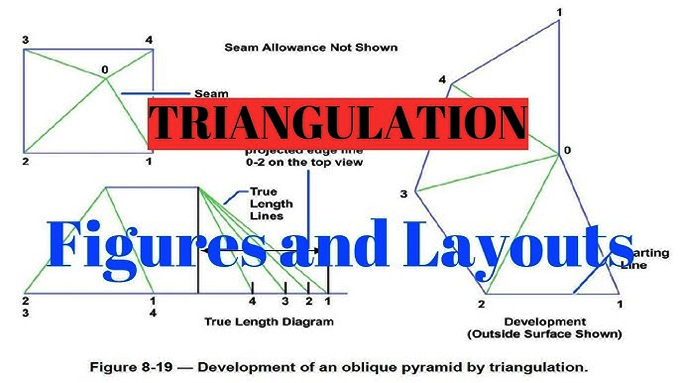
Triangulation Method of Surveying in Civil Engineering

Triangulation is a surveying procedure that helps to estimate the angles in the triangle, which has been formed by the three survey control points. A network of triangles has been traced and measured by the triangulation surveying method, which helps to determine the distance and the points’ positions across the area.
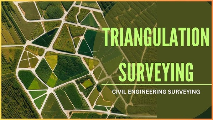
In the case of hilly terrain, the conduct of the triangulation surveying procedure is advantageous. In the triangulation surveying process, the entire area has been covered along with a network of triangles, and the surveying process has been started with a precisely measured baseline. The triangulation surveying procedure extends and interconnects the triangles, which helps to form a comprehensive framework throughout the entire surveyed area.
Reasons behind conducting the Triangulation Survey Procedure
The triangulation survey procedure helps to establish an accurate control network, which acts as the backbone of engineering projects. The main reasons behind the conduct of the triangulation method of surveying are:
➢ The triangulation survey procedure helps to set more accurate control points for the geodetic and plane surveys with the help of its ground-based techniques. These types of control points are crucial to ensure the accuracy throughout the entire surveying method.
➢ The critical ground-based control points have been provided by the triangulation method of surveying in the case of photogrammetry.
➢ The triangulation method of surveying also helps to get precise locations to conduct the large-scale engineering works. The determination of the accurate location is crucial to fix the centerline and terminal points for the long tunnels, position the centerline for the bridges, observe the movement of the cloud and transfer the control points throughout the wide sea channels.
➢ Several modern technologies, including satellite-based systems and GPS, help to improve the effectiveness and accuracy of the triangulation survey procedure, which helps to achieve more precision throughout large areas.
Benefits of conducting the Triangulation Survey Procedure
There are several benefits of conducting the triangulation survey procedure, which are as follows:
➢ The triangulation method of surveying is simpler to conduct, as well the execution process of this surveying method can be done more rapidly.
➢ The triangulation method of surveying is more economical in the case of narrow terrains.
➢ The triangulation survey procedure is appropriate to establish the control points in the case of geodetic surveys.
➢ In the case of the photogrammetric surveys in the large-scale areas, the triangulation survey procedure is appropriate.
➢ The triangulation survey procedure also helps to determine the size and shape of the Earth through the longitude, latitude and gravity observation process.
Discuss the operations in the Triangulation Survey Procedure
There are several operations in the triangulation survey method, which are as follows:
Reconnaissance
In this phase of the triangulation survey process, a thorough preliminary examination of the survey area has been done by the surveyors. This examination process includes the identification of suitable locations for stations, understanding the topography, and making plans for the network of triangles.
Preparation of the station
In the next step, the selected stations have been prepared for the conduct of the triangulation survey process. The equipment that is necessary for the triangulation method has been set up by the surveyors in this step. In addition, the benchmark for the surveying process has also been established, which helps to ensure that the station has a clear line of sight. This process also helps to optimise the accuracy of the angles, as well as helps to measure the distances.
Measurement of baseline
In the next step, the baseline has been measured. In this baseline measurement process, one side length of the triangle has been measured. The angles and the length of the other sides have also been calculated in this step, which helps to form the basis of the triangulation network.
Angles measurement
In the next step, the angle measurement has been performed by the surveyors. In this context, the angles between the interconnected stations have been measured, and this can be done with the help of theodolites or total stations. The angle measurement helps to determine the position of points in the triangulation network, which helps to ensure the accurate conduct of the overall survey process.
Different types of triangulation systems
The triangulation system can be of different types, which are:
Triangles
In the case of surveying the narrow terrains, the triangles are the most cost-effective method. This method helps to maintain the angles in the specified range.
Quadrilaterals
The Quadrilateral system helps to allow the different types of combinations of angles and sides to compute the lengths. This Quadrilateral system is appropriate for the hilly areas.
To learn more, watch the following video tutorial.
Video Source: Civil Engineering Fanatics
Polygons
The polygon system is economically viable, which is appropriate for surveying expansive areas. The polygon system helps to increase the accuracy of the surveying procedure, along with a high number of checks.