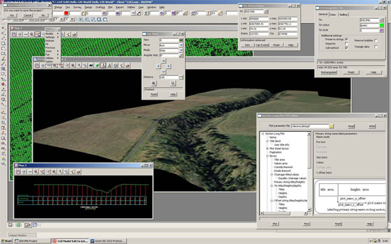
12d Model can streamline the civil engineering, water engineering & land surveying process

12d Solutions is the developer of 12d Model. The most updated version is 12d Model 9.0 C2d. It is very useful for civil engineering, water engineering, land surveying as well as terrain modeling.
The software can be used for the following projects :-
. Roads
. Rail
. Channels
. Storage Tanks
. Sub-divisions
. Landscaping
. Major Pipelines
. Waste Water Reticulation
. Site Layouts
. Flood Modeling
. Environmental Impact Studies
. And Many More
12d Model contains easy-to-use screen menus and rapid interactive graphics and the users will be able to explore with any design without any difficulty. The software facilitates the users to visualize & accomplish complicated surveying & civil design projects.
The 12d Model software supports Windows XP, VISTA & 7 (including PC Notebooks). The 12d Model Practise Version is a special 5, 000 point version that doesn't contain any output options or plot outputs. Still, users can plot to a model to preview any plots.
Link for download Surveying, Civil and Water Engineering

|